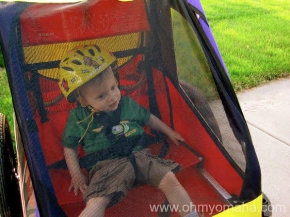
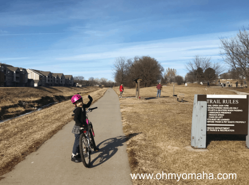
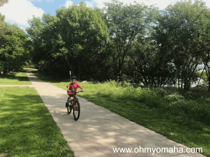
The Omaha metro area offers several trails that are great for families to bike on. Below is a list of bike trails in Omaha to try out with your kiddo. They’re relatively flat and wide enough for a trailer.
Being true to myself here, I’ve selected trips that also happen to include a stop for something sweet. You don’t have to make the stop, you fun hater, but I believe life is all about balance. Sweet with sweat.
Before you go, let me get my Mom tone on and remind you that everyone needs a helmet (even if they’re riding in a trailer). And don’t forget to be courteous to your fellow cyclists and the runners on the trail, your children will learn by your example.

Keystone Trail
Distance: About 5 miles total, cupcake pit stop at the halfway point.
Sweet Stop: Jones Brothers Cupcakes, 2121 S. 67th St. (in the heart of Aksarben Village).
Starting Point: Park in the lots used for Crane Coffee and Peak Performance, 519 N. 78th St., hop on your bikes and head south, making the stop at Jones Bros. your turnaround point.
Pros: Stinson Park is right by Jones Bros., so you might have an impromptu play session; you used to be able to get a discount a Jones Bros. as a biker (it’s been a while since I’ve checked this out).
Cons: The scenery around the trail leaves much to be desired; no water fountains on that bit of trail; Jones Bros. is not located on the trail so you need to have a decent idea of where you’re going.
Big Papio Trail
Distance: About 3 miles with a fro-yo or bakery break at the halfway point.
Sweet Stop: Red Mango or Wheatfields, both located at One Pacific Place, 103rd and Pacific streets.
Starting Point: Park at Towl Park off about 94th and West Center Road. You’ll bike north. Your stopping point is at One Pacific Place for choice of frozen yogurt (Red Mango) or abundance of baked good options (Wheatfields). Head back the way you came (obviously).
Pros: The trail is quiet.
Cons: It might be a little difficult to find Towl Park (I’ve never heard of it); you’ll have to leave the trail and venture into a busy shopping area to get to your sweet oasis.

West Papio Trail
Distance: About 5 miles with a frozen custard break at the halfway point.
Sweet Stop: Culvers, located near where the West Papio intersects with the Keystone Trail.
Starting Point: Use the neighborhood park at the intersection of Cobblestone Road and Wilma Road in Papillion. Bike eastward. Your stop is at Culver’s, just about where the trail intersects with the Keystone Trail.
Pros: Pretty quiet and more scenic than the trails above.
Cons: I don’t recall the trail leading up to Culver’s door, so you may have to walk your bikes through some grass.
Chalco Hills Recreation Area
Distance: About 7 miles, part of it is a loop
Sweet Stop: There is no ice cream stop within biking distance for families, so once you’re finished with your ride, pack up the bikes and head to one of the nearby fast food restaurants for soft-serve ice cream. McDonald’s is my kid’s preferred place on 144th Street near the Interstate 80 entrance.
Starting Point: The main entrance to Chalco is at 154th and Giles Road. Chalco has several parking lots located near picnic areas.
Pros: It’s a beautiful ride throughout. Much of the trail takes you around Wehrspann Lake, which is a 250-acre lake. Plus, there are restrooms here.
Cons: As the name implies, there are some hills here, including a few inclines that will be tough for little legs to bike up and/or scary for little ones to bike down. They’re manageable. My 6-year-old was fine on the way down, but had to walk her bike up one of the hills.

Walnut Creek Recreation Area
Distance: 3.1-mile looping trail
Sweet Stop: None within biking distance, so hop in the car after your ride and go to Shadow Lake Towne Center. The shopping center has an Orange Leaf, Freddy’s and Chocolaterie Stam.
Starting Point: Walnut Creek is located south of Highway 370 and west of 96th Street. There are two entrances, one at 96th Street and the other a 1.5-mile farther south and 1.5-mile west on Schram Road to Turkey Road.
Pros: Biking around the Walnut Creek Lake is beautiful and mostly flat (at least, a lot flatter than Chalco). If your family is the mountain biking kind of family, this has some nice trails, too. Also, there are restrooms here.
Cons: This is a popular park, so when we’ve been here to bike, the trail can be a little crowded.
Wabash Trace Trail (in Council Bluffs, Iowa)
Distance: It’s up to you since your Sweet Stop will actually be at the end of the ride (I recommend riding for about 15 to 20 minutes and then turning around).
Sweet Stop: Tastee Treat, 13996 Wabash Ave., Council Bluffs, Iowa
Starting Point: You can park at the trail head at East South Omaha Bridge Road, which will be just west of Tastee Treat. You may be able to park at Tastee Treat and access the trail from there as well. You’ll ride along the trail heading roughly southeast and it’s up to you when you should turn around.
Pros: The further you go, the prettier the scenery.
Cons: It’s crushed limestone, so if all you have is a road bike, you are out of luck; if you’re unfamiliar with Council Bluffs, you may be unsure how to find the trail
Additional biking options for Omaha families
If you’re looking for a few more ideas, to liven up your family bike rides in Omaha, here are some more trails or parks to consider:
Zorinsky Park – This super popular park almost always has a fairly crowded, paved trail. Still, it can get pretty scenic, especially on the west side of the park. There are a few inclines, but overall, it’s a fairly flat route around a lake. There are also two playgrounds.
Benson Park – This is a very short loop around a small lake, but this is where our kids learned to ride their bikes. The path can get crowded on warm days, but if you go during more temperate seasons, you’ll feel like you have the park to yourselves. There’s a great playground here and a spray ground that’s open in the summer.
Lewis & Clark Landing & The Bob – There are paved trails on both sides of the Missouri River, which you can access by crossing the Bob Kerrey Pedestrian Bridge (more commonly referred to as The Bob). The bike up the bridge is a little steep for little legs. The bridge can get crowded by people oblivious to bikers, so know that you may either have to weave around crowds or just hop off your bike. The Council Bluffs side has more extensive trails if you want a longer ride, but for short legs, the Omaha side is just fine.
More information about biking in Omaha
I found a lot of trail information from the handy Trail Link website. MAPA also has a bike map of the Omaha metro to download. Check them out! For mapping how far you ride, try using Map My Ride.

Loved this post?
Get more posts like this delivered straight to your inbox twice a month. Never miss a giveaway, the perfect event, or travel inspiration again. Subscribe to the FREE e-newsletter here.

Alyssa
Wednesday 26th of June 2013
Gotta say, we miss the bike trails in the Omaha area since our move to Yankton 2 years ago. We did the wabash trace on hybrid bikes (which, truthfully, is more of a road bike than a mountain bike -- skinny tires, lightweight aluminum frrame, etc.) many times pulling a trailer, co-pilot and 2 kids on their own bikes. My kids were fairly young at the time (all four were 8 and under) and they loved that trail. We also loved the Keystone with the stop at Jones Bros. Great list!
Kim
Wednesday 26th of June 2013
Thanks! I look forward to our kids being old enough to bike alongside us. I think they both will love the Wabash.
Ticha
Wednesday 26th of June 2013
This may be the motivation I need to get back on my bike!
Kim
Wednesday 26th of June 2013
You and me both. At least twice a week I suggest we should go on a bike ride, and then we don't.
Amy Reiner
Tuesday 25th of June 2013
Great new ideas for bikers that need a tasty treat! Thanks!!
Kim
Wednesday 26th of June 2013
Thanks, Amy!